
-
Skillnet Ireland Funding for Certified Matterport Training Overview For professionals and businesses wishing to develop their expertise in Matterport digital twins, immersive 3D capture and post-production, Skillnet Ireland may provide funding towards the cost of training. Skillnet Ireland is a Government-backed national agency that works with industry-led Skillnet Business Networks to support workforce development and…
-
What It Is and How It Works Virtual staging refers to the digital enhancement of a Matterport 3D tour by adding realistic furniture, fixtures and interior design elements into the captured digital twin of a space. Rather than physically staging a property and recapturing scans, roOomy’s virtual staging service works directly with your existing Matterport…
-
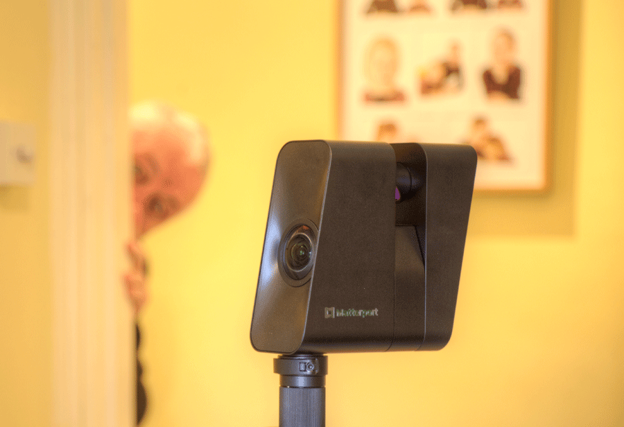
You have a choice when capturing with the Matterport Pro 3 LiDAR camera. Either you stick with the camera and stay behind it, or you leave the area and hide from view. If sticking it is worth noting that the Pro 3 rotates in four segments, with a short pause in between. You really need…
-
When handover is only the beginning Facility management rarely fails because teams aren’t working hard enough – it fails when the building’s “truth” gets scattered across shared drives, PDFs, emails, and vendor portals, turning every incident into a mini research project. In the article, we break down what makes a digital twin actually useful for…
-
Guidelines for Setting Up an Email Address for a Matterport Subscription To set up and access a Matterport Subscription, you will need a dedicated email address. This email will be used to sign in, receive activation links, and access items such as still-photograph downloads. 1. Use a Dedicated Email Address 2. Recommended Formats 3. Purpose…
-

Overview Matterport Schematic Floor Plans are supplied in both PDF and SVG (Scalable Vector Graphics) formats. Whilst the PDF is suitable for printing and review, the SVG file can be converted into a DXF (Drawing Exchange Format) for use within AutoCAD and many other CAD applications. This provides an excellent starting point for architects, engineers,…
-
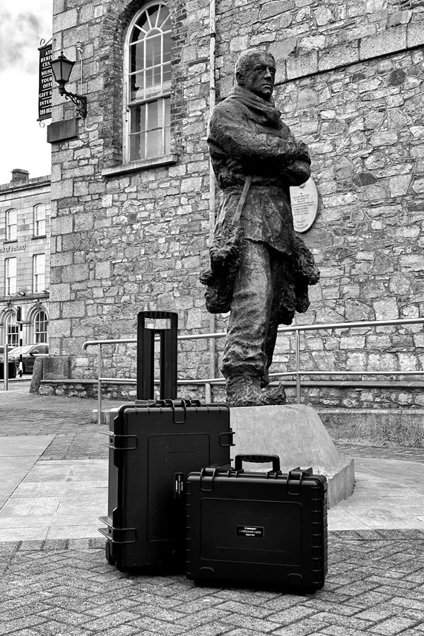
A Practical Guide For some Matterport Pro3 users, projects don’t always happen just down the road. Whether you’re scanning property abroad, documenting construction projects across Europe, or capturing commercial spaces further afield, it’s essential to understand the rules and best practices for travelling with your Pro3 camera and accessories. Airline regulations around lithium-ion batteries are…
-
Can be used for speedy weekly site progress reports*. Camera can be used upside down*. Automatically rotates image to right way up*. Minimum focus distance 0.4m* – recommended 0.5m* Use in challenging locations ‘Waterproof’ IPX8 to 5m.* Mix with Pro3 to create a specific model*. Note – eliminates ability to download point cloud etc. Use…
-
Exterior scans – Mavic 3E Drone – with RTK positioning Interior scans – Matterport Pro 3 Revit Model GNSS Rover Zenith 60 used to get ITM coordinates to geolocate the drone model Processed in DroneDeploy Imported into Autodesk Recap The point-cloud generated from the Matterport fits within the point-cloud generated by the drone. Green –…