
Tag: survey
-
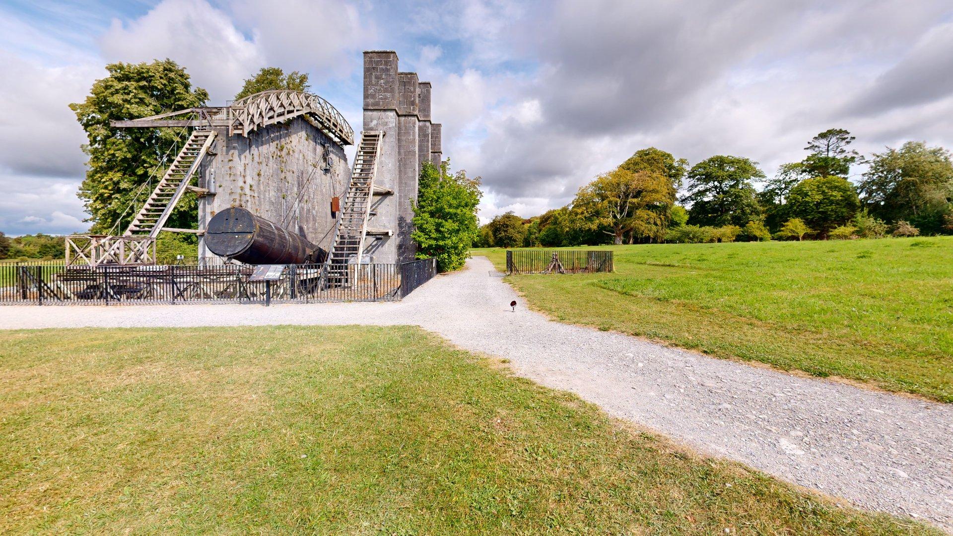
There are few better places to introduce a new piece of measurement technology than alongside one of Ireland’s greatest historic feats of scientific engineering. CaptureTrain recently delivered on-site Matterport Pro3 capture training for the team from Kilkelly Geo-Spatial Solutions (KGSS) at the extraordinary Leviathan of Parsonstown in the grounds of Birr Castle, Co. Offaly. KGSS…
-
Multiple levels Scan inside the building first Build a strong core Straight Line Scanning Drunken Sailor Weaving from side to side triangulates the data and helps prevent the scanning going off to one side. Scan outside the building Chose vistas that take in other levels Scan outside the building Complete the exterior at that level…
-
The data points that the camera/scanner generates are referred to collectively as the Point Cloud. This collection of data can be downloaded as a file at an additional cost. The data can be imported into several software programmes used by architects, engineers, and construction professionals. The density of the data collected can be increased to…
-
Works in (Almost) Any Lighting LiDAR is an active system, meaning it provides its own light. This allows the Pro3 to capture accurately in low light, bright sunlight, or mixed lighting conditions. High Accuracy and Detail The Pro3 captures very detailed geometry, supporting millimetre-level accuracy in exports such as E57 files. This includes fine details…
-
High Dynamic Range (HDR) Photographs are a technique where a correctly exposed photograph is taken along with one that is under-exposed and another that is over-exposed. The three images are processed through software to create a single image that uses the darker and lighter images to increase the tonal range. The resulting image has more…
-
Introduction First: the camera takes a still photograph Second: the unit starts to rotate one quarter turn. The LiDAR unit mirror spins as the laser measurements are taken. This is repeated four times. It takes c.18 seconds to complete the four quadrants which comprise one full rotation. LiDAR on the Matterport Pro3 – An Accessible…
-
Combine: 3D virtual tour Tags Notes Still photographs Schematic floor plans* MatterPak Elements* Ceiling plan image Floor plan image Mesh .obj file Point Cloud .xyz file (deprecated) *at additional cost